


The Ultimate Property Photography Tool
Are you a real estate photographer looking for a seamless way to document properties? Our app makes it easy to capture and organise every detail of a property right from your phone!

Capture. Organise. Manage.


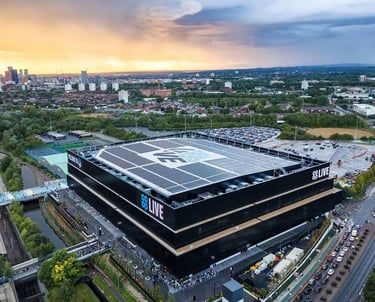
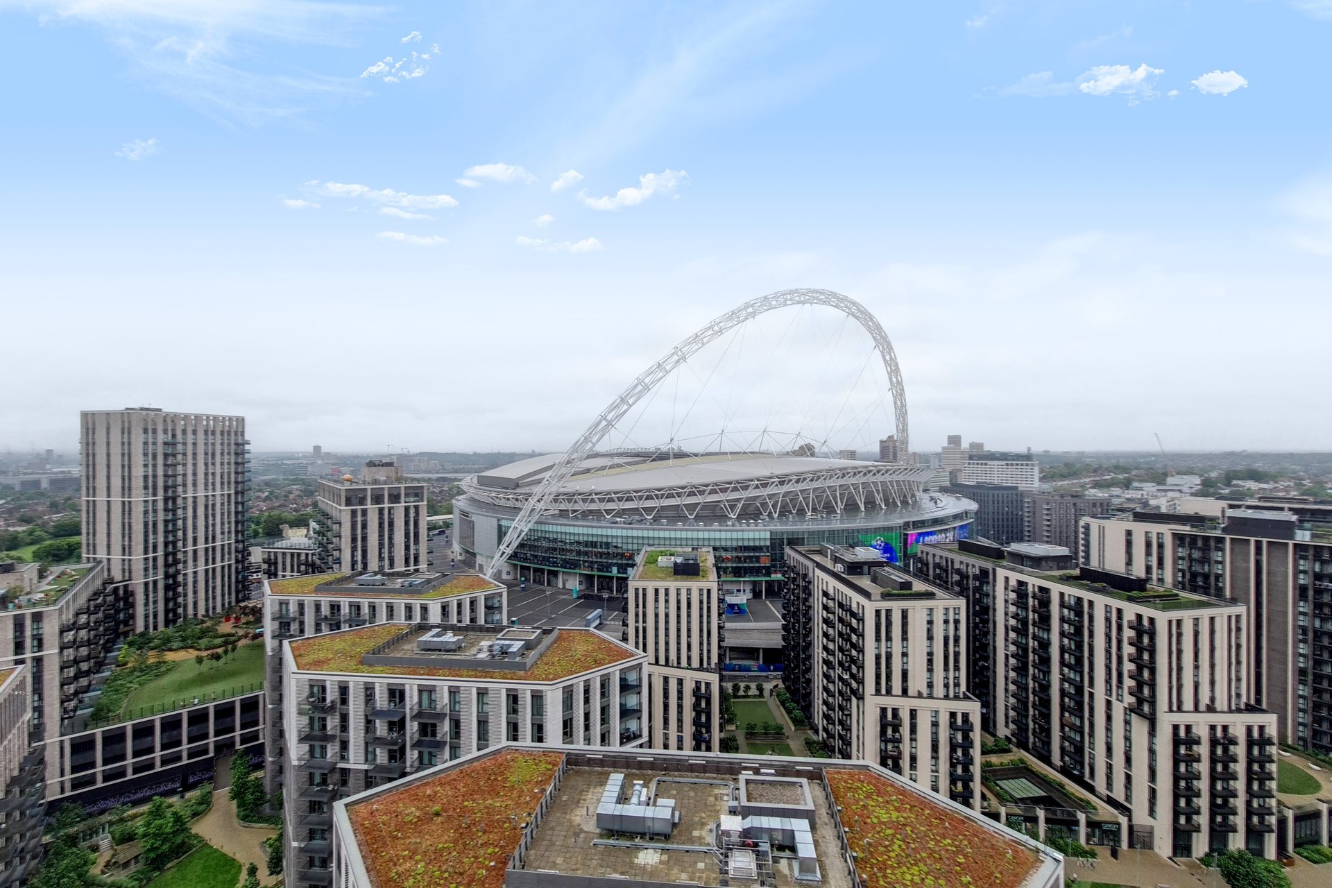
AERIAL DRONE MAPPING
We provide high resolution, rapid and cost-effective aerial drone mapping services using industry proven autonomous flight control apps to capture airborne images using drones. With our survey-grade mapping service, you can expect stunningly detailed photo mosaics and precise topographic data. This allows us to create 3D point clouds that deliver more accurate models than traditional methods.
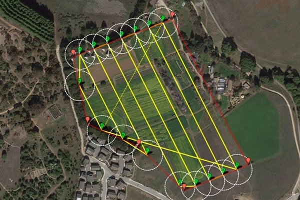
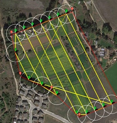
One of the best parts? Drone Mapping can cover large areas in a fraction of the time, all while safely handling tricky situations like highway and industrial sites. We even support projects like chronological photographic records, large commercial as-builts, ALTA/NSPS surveys, and volume calculations!
Curious to see how Drone Mapping can make a difference for you?
Reach out today, and let's explore the possibilities together.
Our services
Provide a general summary of the services you provide, highlighting key features and benefits for potential clients.
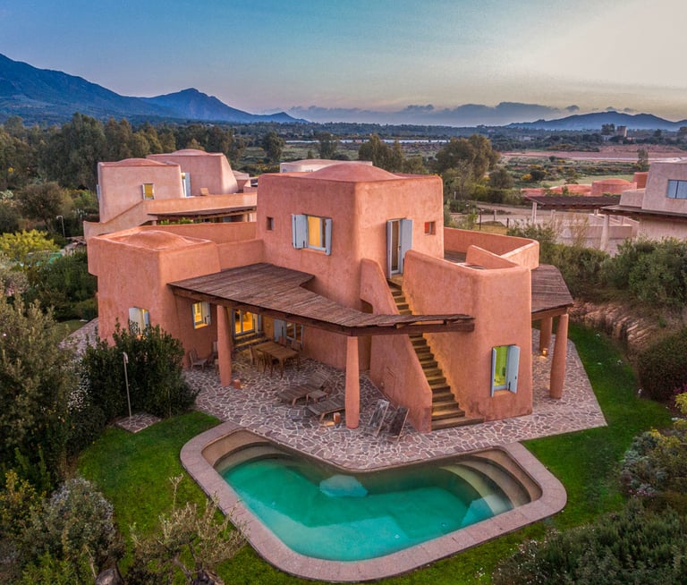
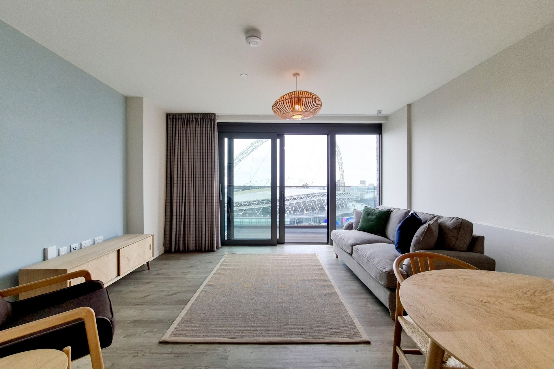
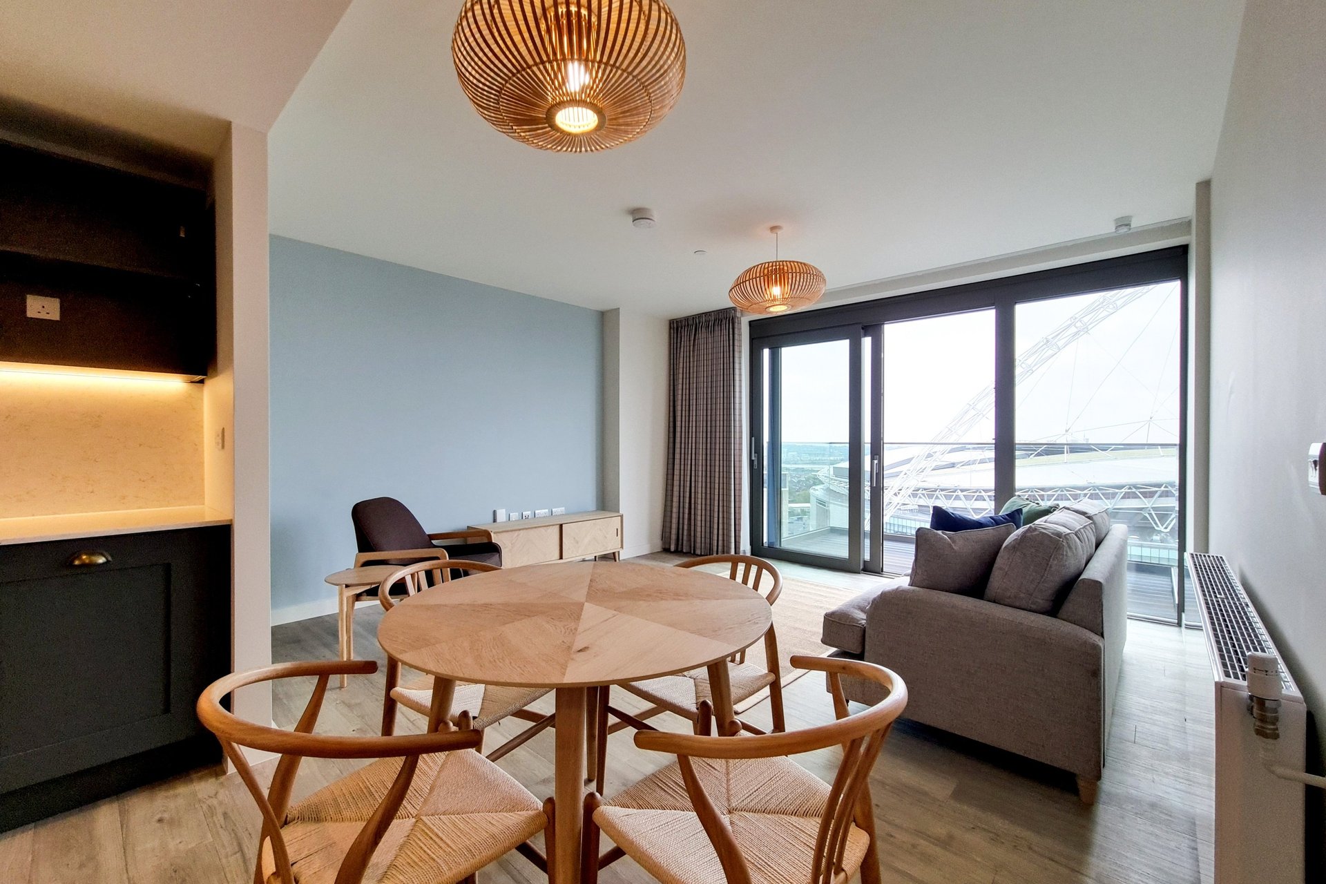
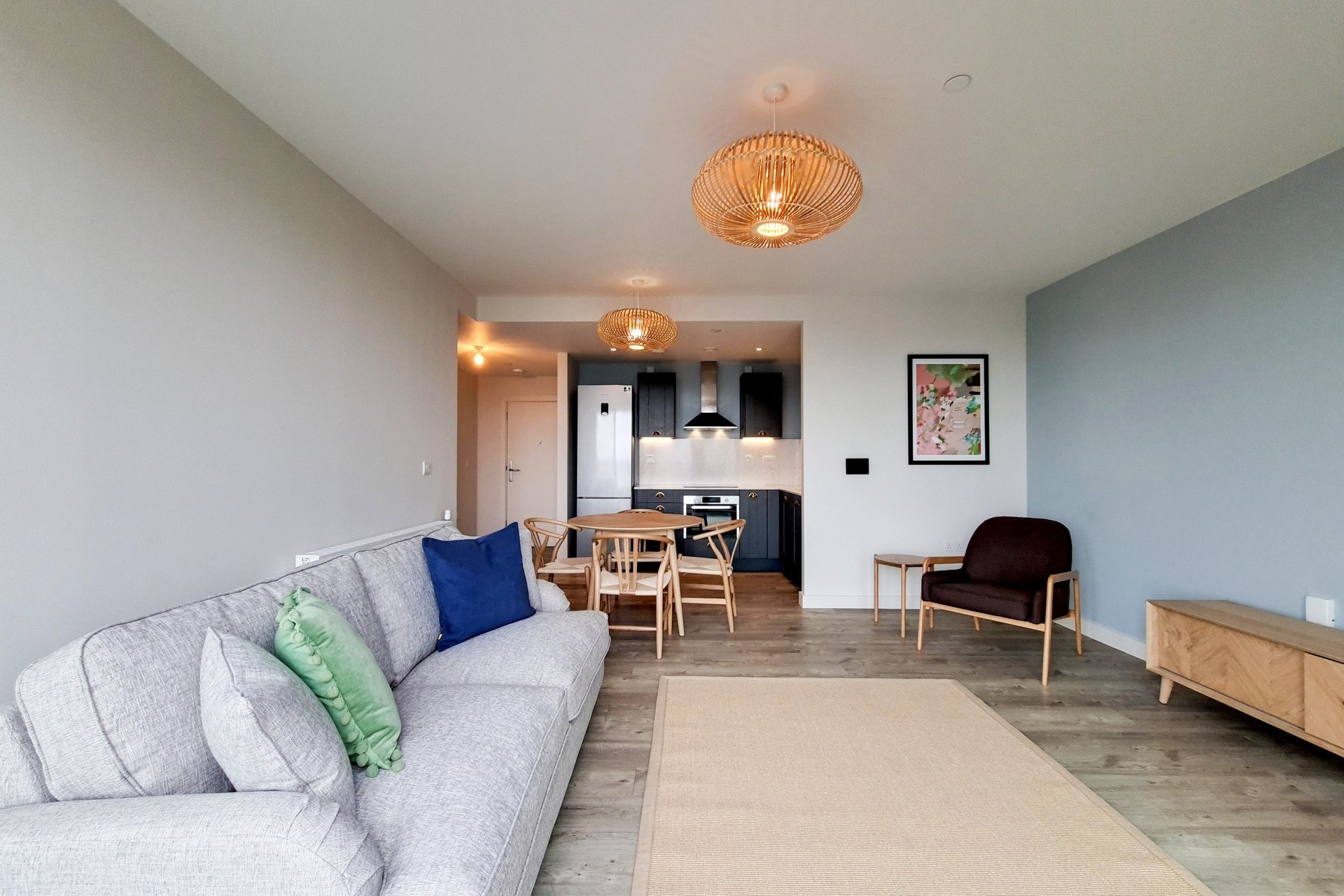
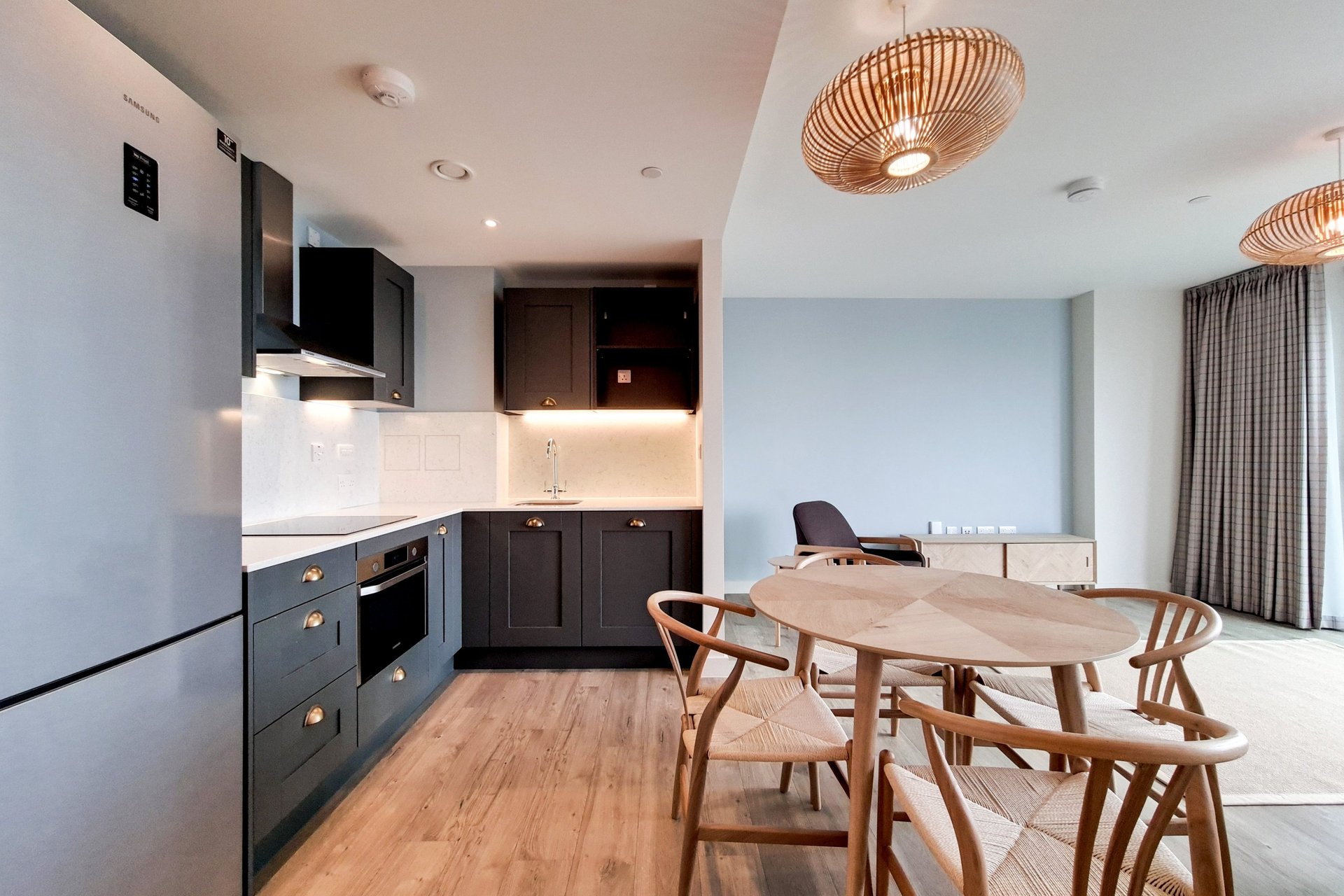
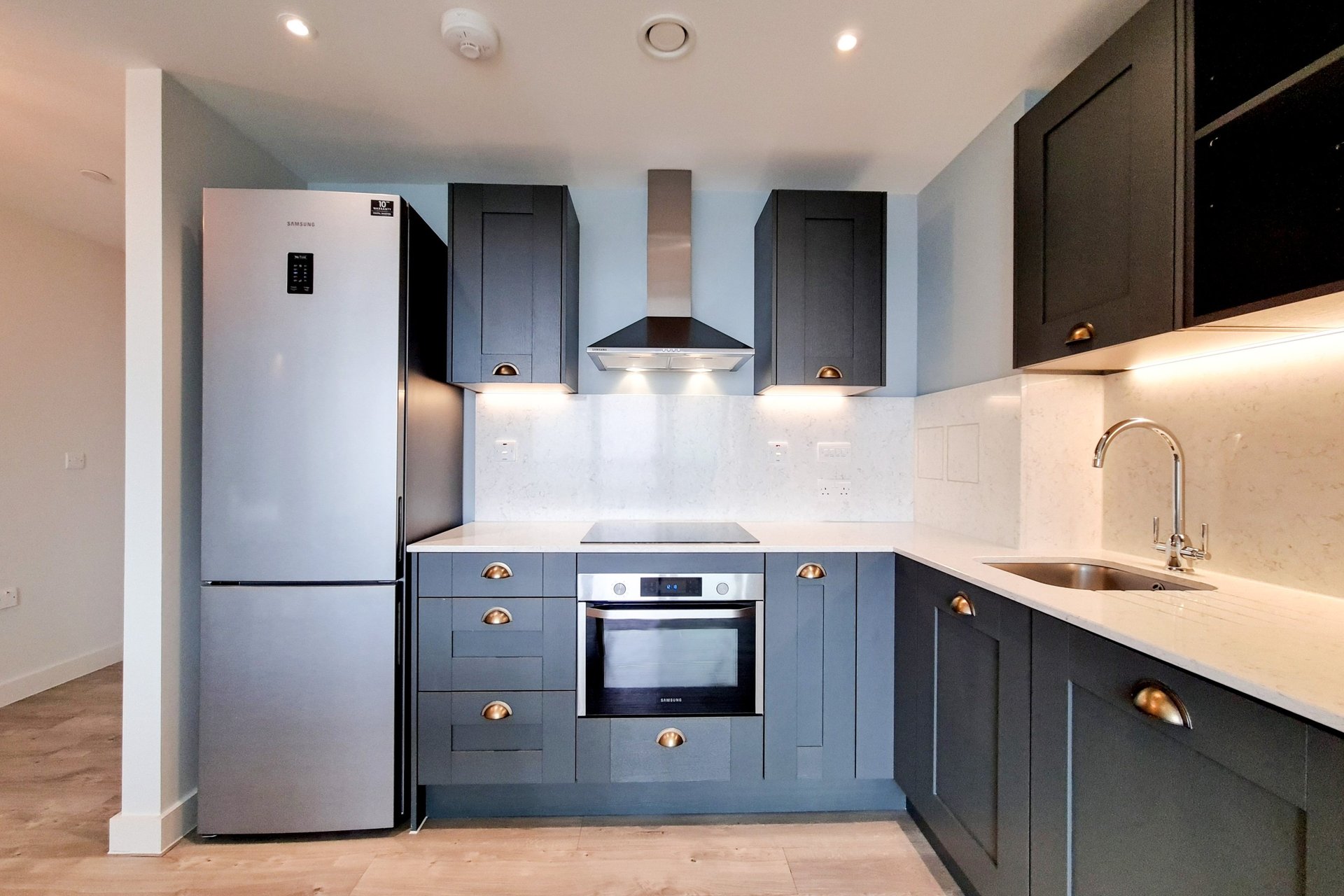
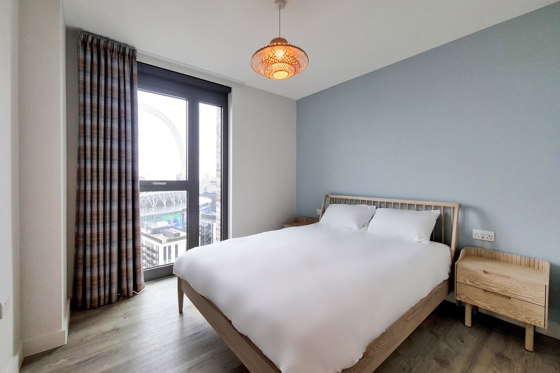
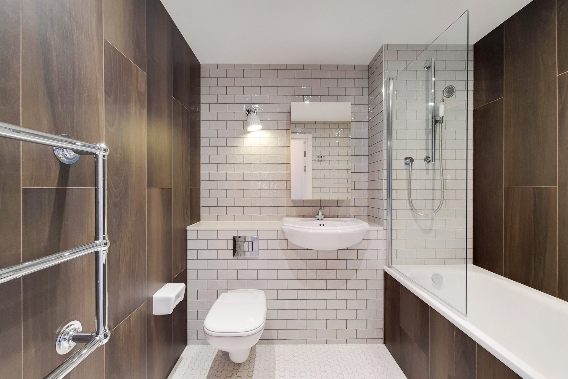
Aerial Property Photography
Capture stunning views of your property, whether for real estate marketing or to adorn your walls, preserving a timeless image of your home.
This service is particularly beneficial for clients undergoing renovations, providing an opportunity to document 'before and after' transformations.aa
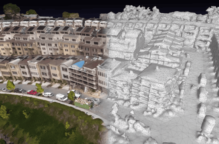
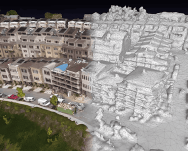
PHOTOGRAMMETRY / 3D MAPPING
For high-quality 2D orthomosaic images of your land, roof, or site with exceptional accuracy of up to 3mm when paired with RTK technology, please reach out to discuss your options and pricing.
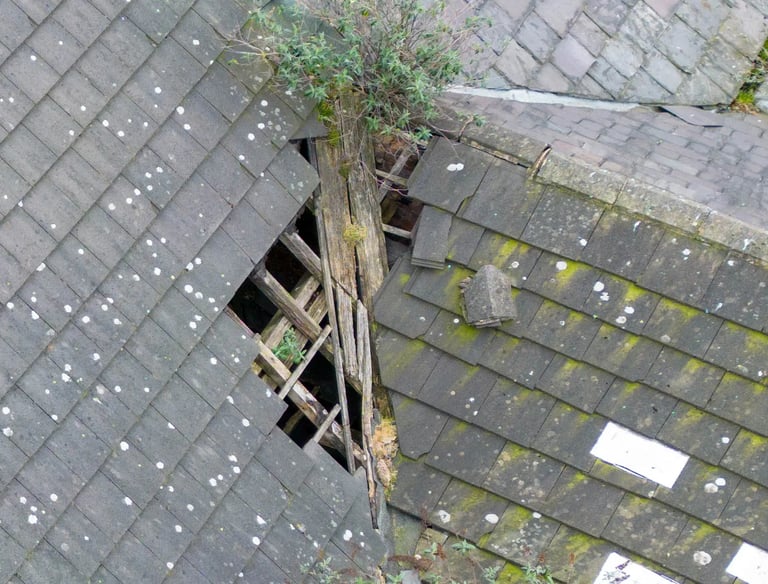
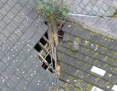
Our comprehensive Roof Survey encompasses all critical elements, including pitches, chimneys, flues, vents, gutters, fascias, ridges, valleys, flashing, gable ends, and flat roofs.
We cater to both residential and commercial sites, ensuring a thorough assessment for every type of property.
Drone Roof Survey
Our services
Provide a general summary of the services you provide, highlighting key features and benefits for potential clients.


Service title
Write a short text about your service. Highlight key benefits for potential clients.
Service title
Write a short text about your service. Highlight key benefits for potential clients.
Service title
Write a short text about your service. Highlight key benefits for potential clients.
Hub
The average property in London is inaccurately assessed by over £30,000 in value. From 45 square feet, which is equivalent to the area of a small bedroom or study. In the case of houses, this discrepancy increases to 85 square feet. In the most extreme instances, this miscalculation can result in buyers losing out on hundreds of thousands of pounds.

Book an appointment

Now Relax
Easily book an appointment online, select your service.
Our team will do the rest. Capture, Edit, Export.

Ready 2go
In 1-2 business days, you’ll have your complete package.
All Done
Download and Share on social platforms or website and email.
Book your first capture, select your service or get our FULL BUNDLE deal with over 25% OFF.


Contact us today to get started
Contact us today to get started
All in one visit
All in one visit
All in one visit
Photography Service

Floor Plan
Virtual Tour


Get in touch with us for all your needs
Free consultation

per saperne di più
© 2025. Tutti i diritti riservati.
© 2025. Tutti i diritti riservati.